Earth
ID: 12905
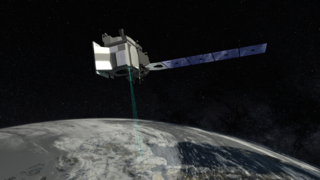
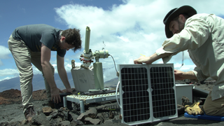
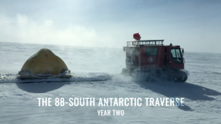
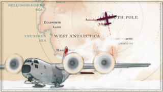
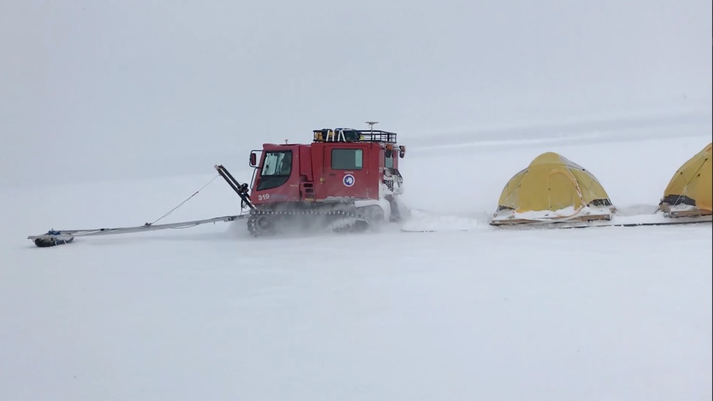
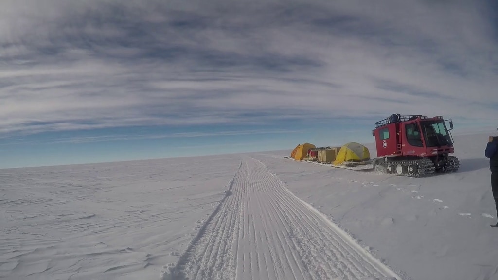
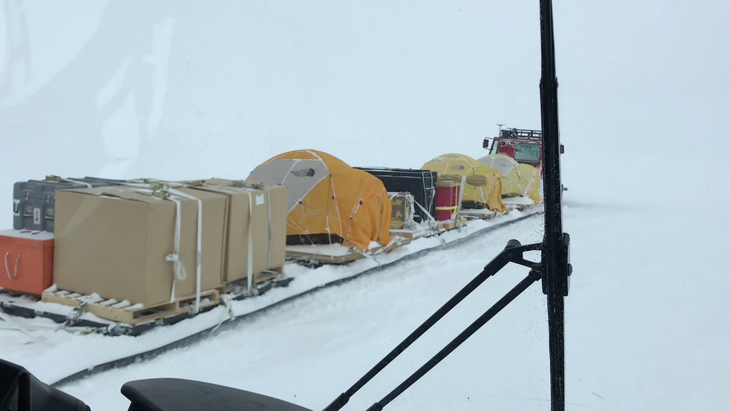
With extreme cold-weather gear, scientific instruments, and two tank-like snow machines called PistenBullys, NASA scientists began a traverse on December 21 along section of the 88-degree south latitude line in an arc around the South Pole, documenting a new route across the Antarctic ice. The 470-mile expedition in one of the most barren landscapes on Earth provided the best assessment of the accuracy of data collected from space by the Ice Cloud and land Elevation Satellite-2 (ICESat-2), set to launch in 2018. With a fast-firing laser instrument, ICESat-2 will measure the elevation of ice sheets and track how much they change over time. Even small amounts of melt across areas as vast as Greenland or Antarctica can result in large amounts of meltwater contributing to sea level rise. To help document this, ICESat-2's height change measurements will have a precision of less than an inch – ground-truthed, in part, with efforts like this Antarctic campaign. The team will collected precise GPS data of the elevation at 88 degrees south, where ICESat-2’s orbits converge, providing thousands of points where the survey measurements can be compared to satellite data.
The 88-South Antarctic Traverse
Used Elsewhere In
Related
Credits
Ryan Fitzgibbons (USRA): Lead Producer
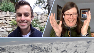
Kelly Brunt (Earth System Science Interdisciplinary Center/University of Maryland): Lead Scientist
Thomas A. Neumann Ph.D. (NASA/GSFC): Lead Scientist
Thorsten Markus (NASA/GSFC): Lead Scientist
Kelly Brunt (Earth System Science Interdisciplinary Center/University of Maryland): Lead Interviewee
Thomas A. Neumann Ph.D. (NASA/GSFC): Lead Interviewee
Rob Andreoli (Advocates in Manpower Management, Inc.): Lead Videographer
Chad Seay (NSF): Lead Videographer
Kelly Brunt (Earth System Science Interdisciplinary Center/University of Maryland): Lead Videographer
Thomas A. Neumann Ph.D. (NASA/GSFC): Lead Videographer
Ryan Fitzgibbons (USRA): Lead Editor
Greg Shirah (NASA/GSFC): Lead Visualizer
Adriana Manrique Gutierrez (USRA): Lead Animator
Please give credit for this item to:
NASA's Goddard Space Flight Center
NASA's Goddard Space Flight Center
Short URL to share this page:
https://svs.gsfc.nasa.gov/12905
Mission:
Ice, Cloud, and land Elevation Satellite-2 (ICESat-2)
This item is part of this series:
Narrated Movies
Keywords:
SVS >> Elevation data
SVS >> HDTV
SVS >> Ice Sheets
GCMD >> Location >> Antarctica
NASA Science >> Earth
GCMD keywords can be found on the Internet with the following citation: Olsen, L.M., G. Major, K. Shein, J. Scialdone, S. Ritz, T. Stevens, M. Morahan, A. Aleman, R. Vogel, S. Leicester, H. Weir, M. Meaux, S. Grebas, C.Solomon, M. Holland, T. Northcutt, R. A. Restrepo, R. Bilodeau, 2013. NASA/Global Change Master Directory (GCMD) Earth Science Keywords. Version 8.0.0.0.0


