Earth
ID: 13126

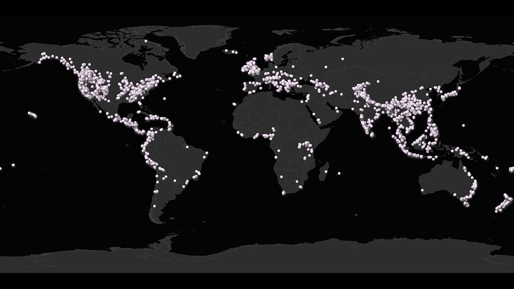
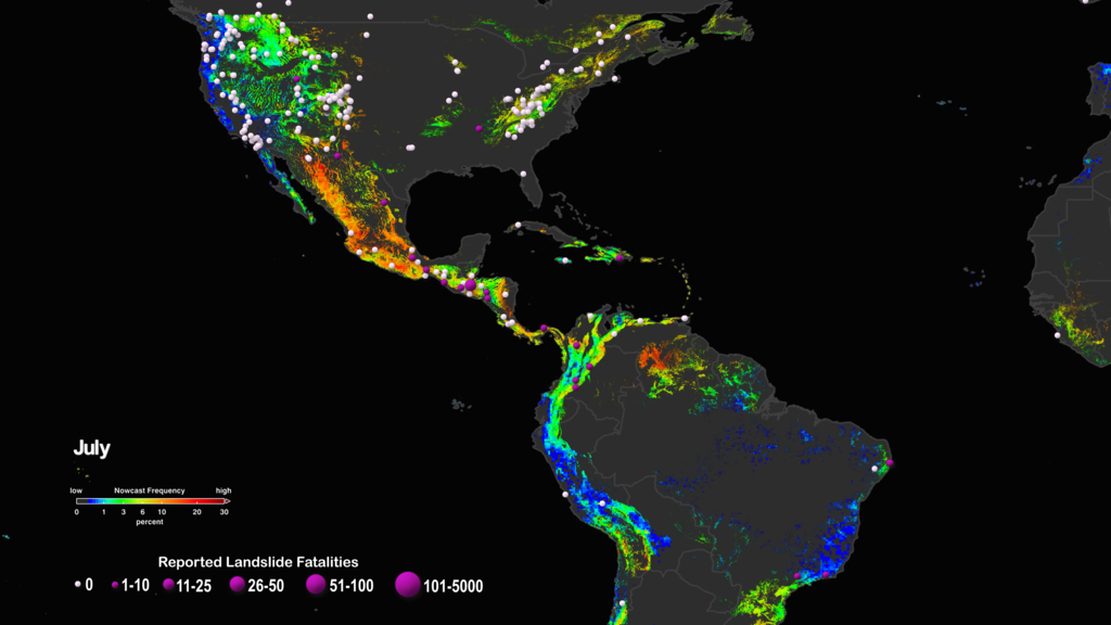
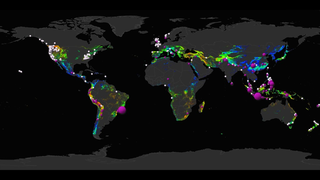
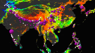
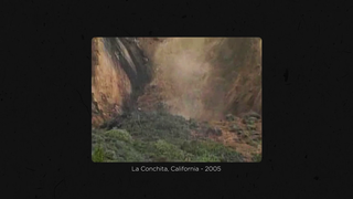
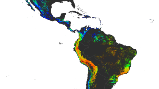
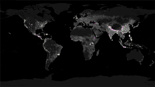
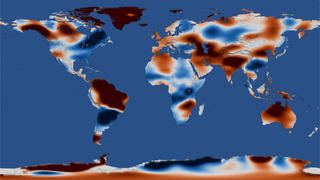
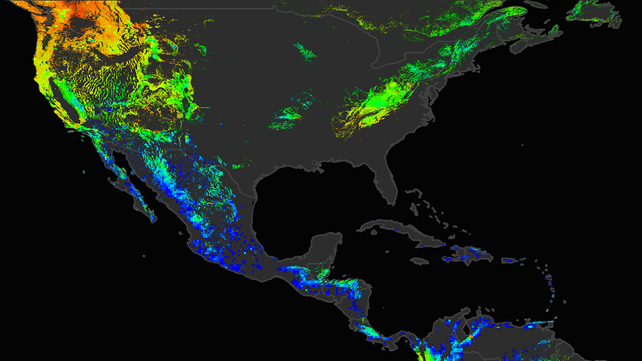
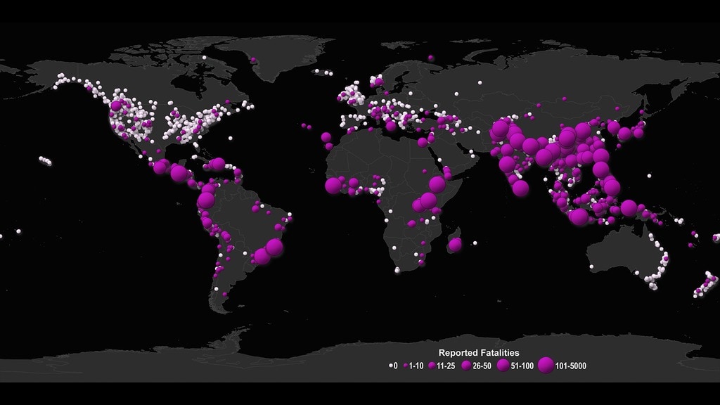
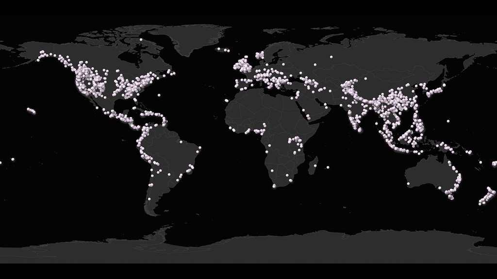
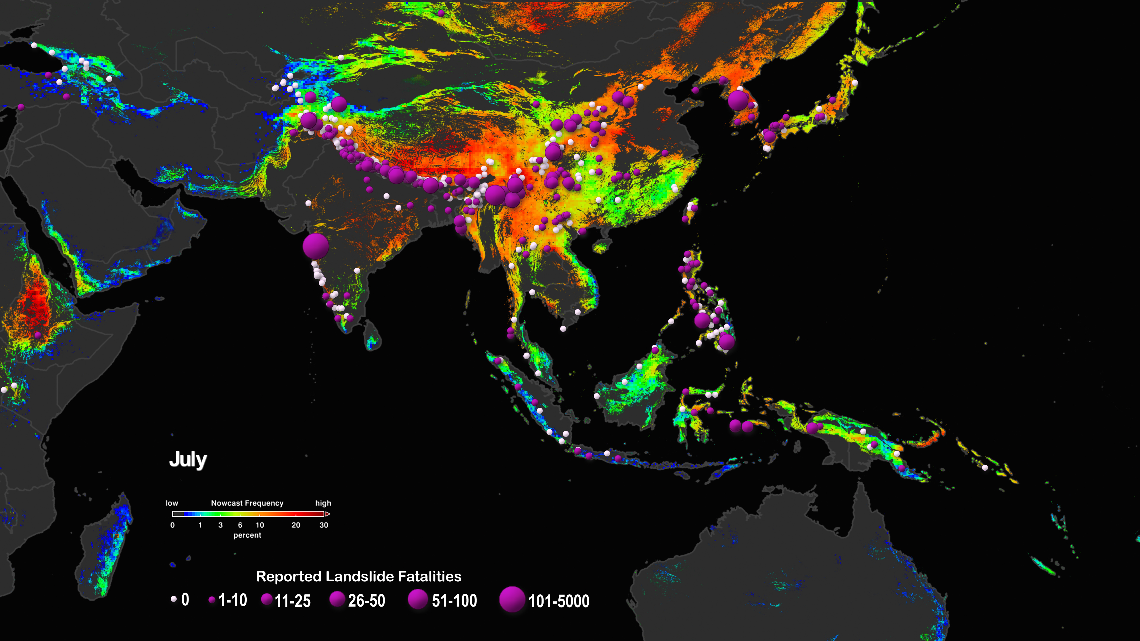
If a slope's underlying foundation is unstable, heavy rainfall could be all it takes to trigger a landslide. In fact, rainfall is the most common catalyst for landslides. An open sourced computer model developed at NASA's Goddard Space Flight Center uses precipitation data to identify areas all over the globe that are potential landslide hazards. The model first looks at areas that have recently experienced heavy rainfall using data from the Global Precipitation Measurement (GPM) mission. When the rainfall estimates are unusually high, the model checks other known conditions of the area that may encourage landslides, such as recent road construction, steep hills, and other factors. A "nowcast" map then combines the rainfall data and these other factors to mark areas that might have landslides. Scientists have used these models to conduct studies on long term landslide patterns and landslide warning signs. Watch the video to learn more.


Predicting Landslides
Source Material
Related Stories
For More Information
Story Credits
Lead Visualizer/Animator:
Helen-Nicole Kostis (USRA)
Lead Producers:
Joy Ng (USRA)
Ryan Fitzgibbons (USRA)
Lead Scientists:
Dalia B Kirschbaum (NASA/GSFC)
Thomas A. Stanley (USRA)
Lead Writer:
Kasha Patel (NASA/GSFC)
Writer:
Michelle Tu (Experiential Learning Program, UMD)
Helen-Nicole Kostis (USRA)
Lead Producers:
Joy Ng (USRA)
Ryan Fitzgibbons (USRA)
Lead Scientists:
Dalia B Kirschbaum (NASA/GSFC)
Thomas A. Stanley (USRA)
Lead Writer:
Kasha Patel (NASA/GSFC)
Writer:
Michelle Tu (Experiential Learning Program, UMD)
Please give credit for this item to:
NASA's Scientific Visualization Studio
NASA's Scientific Visualization Studio
Short URL to share this page:
https://svs.gsfc.nasa.gov/13126
Keywords:
SVS >> HDTV
SVS >> App
NASA Science >> Earth
https://svs.gsfc.nasa.gov/13126
Keywords:
SVS >> HDTV
SVS >> App
NASA Science >> Earth

