Earth
ID: 13465
NASA’s Operation IceBridge images Earth’s polar ice in unprecedented detail to better understand processes that connect the polar regions with the global climate system. IceBridge utilizes a highly specialized fleet of research aircraft and the most sophisticated suite of innovative science instruments ever assembled to characterize annual changes in thickness of sea ice, glaciers, and ice sheets. In addition, IceBridge collects critical data used to predict the response of earth’s polar ice to climate change and resulting sea-level rise. IceBridge also helps bridge the gap in polar observations between NASA’s ICESat satellite missions.
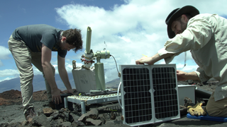
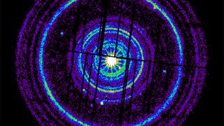
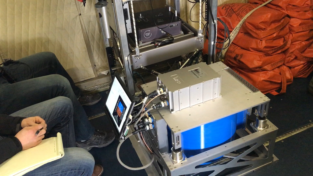
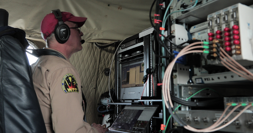
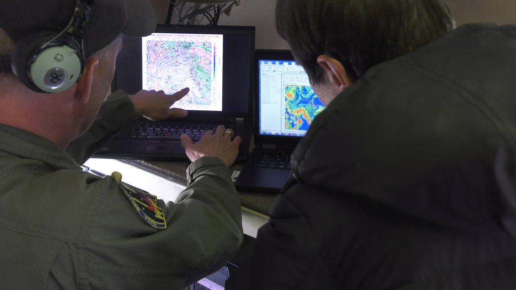
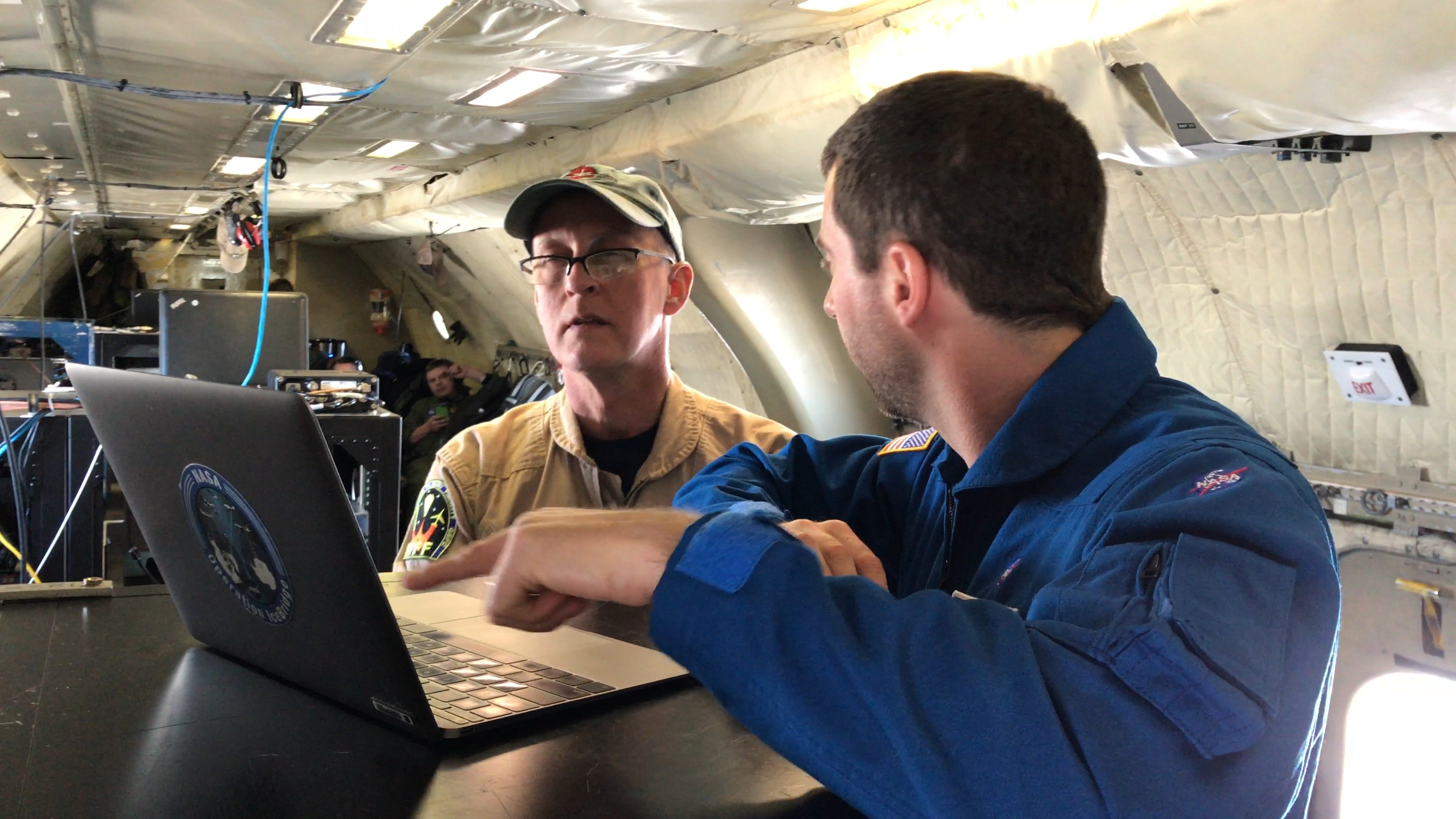
The below clips represent a miscellaneous collection of instruments used during the Arctic campaigns.
Operation IceBridge - Misc.
The below clips represent a miscellaneous collection of instruments used during the Arctic campaigns.
Related
For More Information
Credits
Jefferson Beck (USRA): Lead Videographer
Joe MacGregor (NASA/GSFC): Project Scientist
John Sonntag (EGG): Project Scientist
Nathan T. Kurtz (NASA/GSFC): Project Scientist
Joe MacGregor (NASA/GSFC): Project Scientist
John Sonntag (EGG): Project Scientist
Nathan T. Kurtz (NASA/GSFC): Project Scientist
Please give credit for this item to:
NASA's Goddard Space Flight Center
NASA's Goddard Space Flight Center
Short URL to share this page:
https://svs.gsfc.nasa.gov/13465
Mission:
Operation IceBridge
Keywords:
DLESE >> Cryology
GCMD >> Earth Science >> Cryosphere
GCMD >> Location >> Arctic
SVS >> Operation IceBridge
SVS >> Ice Melt >> Climate Change
NASA Science >> Earth
GCMD >> Earth Science >> Climate Indicators >> Cryospheric Indicators
GCMD keywords can be found on the Internet with the following citation: Olsen, L.M., G. Major, K. Shein, J. Scialdone, S. Ritz, T. Stevens, M. Morahan, A. Aleman, R. Vogel, S. Leicester, H. Weir, M. Meaux, S. Grebas, C.Solomon, M. Holland, T. Northcutt, R. A. Restrepo, R. Bilodeau, 2013. NASA/Global Change Master Directory (GCMD) Earth Science Keywords. Version 8.0.0.0.0


